

Ports Down (boundary) [Fort Southwick]
Good walks are even better shared.
SU6206 : View south eastwards down onto the M27 from Portchester Common SSSI
Basher Eyre Photo source
Overview
Ports Down (boundary) [Fort Southwick]
Overview
Ports Down, standing at 67 meters, may not be the tallest hill you'll conquer, but what it lacks in elevation, it certainly makes up for in historical and scenic significance. Nestled in the South Downs and boasting a Marilyn classification, this hill is a favourite among locals and visitors alike.
Geology
The area is characterised by its chalky underpinnings. This soft limestone has shaped the landscape and contributed to its beautiful views. If you look closely, you might even spot some fossils, so keep your eyes peeled—no, not for a dinosaur, but perhaps a prehistoric fish or two!
Routes
A popular choice is the Fort Southwick Circular Walk, a leisurely 5 km stroll that showcases the best of the area. Perfect for families and those who fancy a gentle jaunt, this route takes around 1.5 hours and is suitable for all ages.
Summit Features
At the summit of Ports Down, you’ll find a notable trig point, which has probably seen more selfies than it knows what to do with. Additionally, the remnants of Fort Southwick whisper tales from the past, allowing you to indulge in a bit of history alongside your hike.
Terrain Type
Expect rolling hills covered in lovely grassland, interspersed with the occasional rocky pathway. It's not a scramble, more of a delightful wander, with plenty of photo opportunities.
Views
Perched up here, the views are nothing short of stunning. Gaze out towards the Solent for a breathtaking look at the Isle of Wight and enjoy a panoramic backdrop of Portsmouth. Spring and early summer are particularly stunning, with vibrant wildflowers and clear skies enhancing the landscape.
Hazards
While the paths are generally well-marked, do keep an eye on the edges—there are some steep drops! And with British weather being what it is, be prepared for sudden changes. Always pack a light jacket, even if it feels like a sauna at the bottom!
Access
Nearest parking is available at Fort Southwick, a short drive from Portsdown Hill Road. For those considering public transport, local buses service the area nicely, and Portsmouth Harbour station is conveniently close.
Facilities
Though you won't find extensive facilities right at the summit, Cosham is just a stone's throw away, brimming with cafes and shops to replenish your energy post-hike.
History
The name 'Ports Down' reflects its long-standing strategic importance, particularly for the nearby port of Portsmouth. Fort Southwick itself is a relic of military ingenuity from the Victorian era, standing as a guard against maritime threats of yore.
Conclusion
Whether you're a seasoned hiker or a casual wanderer, Ports Down offers a lovely escape filled with vistas, history, and the gentle smell of chalky air. So lace up those boots and set off for a delightful day out in this picturesque setting.
Explore routes near Ports Down (boundary) [Fort Southwick]
Walks starting near this hill. Open a route to check its map, distance and full itinerary.
Port Solent Walk with Men Walking & Talking
View route
Havant Walk with Men Walking & Talking
View route
Hinton Ampner: Dutton Estate Woodland and Downland Circuit
View route
Ventnor Downs Dakota Crash Memorial Circuit
View route
Route planning notes
These notes describe possible approaches. Check a route's map and access information when planning your walk.
Fort Southwick Circular Walk
A scenic circular walk that takes in the historic sites of Fort Southwick and the surrounding landscape.
Make a day of it, together
Find someone to share the walk with, or organise a day out along a route you like.
Photo Gallery
View all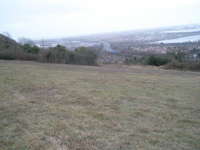 Photo could not load
SU6206 : View south eastwards down onto the M27 from Portchester Common SSSI
Basher Eyre
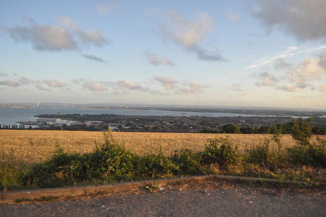 Photo could not load
SU6206 : Portsmouth : View from Portsdown Hill Road
Lewis Clarke
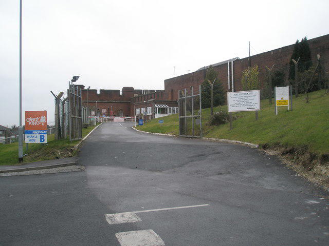 Photo could not load
SU6206 : Entrance to "Candy King" within Fort Southwick
Basher Eyre
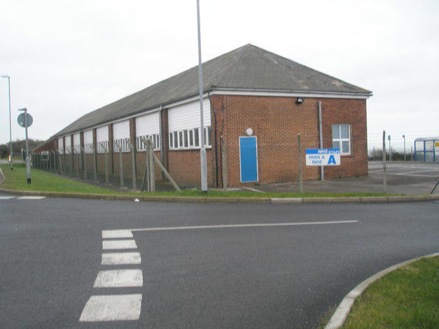 Photo could not load
SU6206 : Park and Ride facility for NHS staff opposite Fort Southwick
Basher Eyre
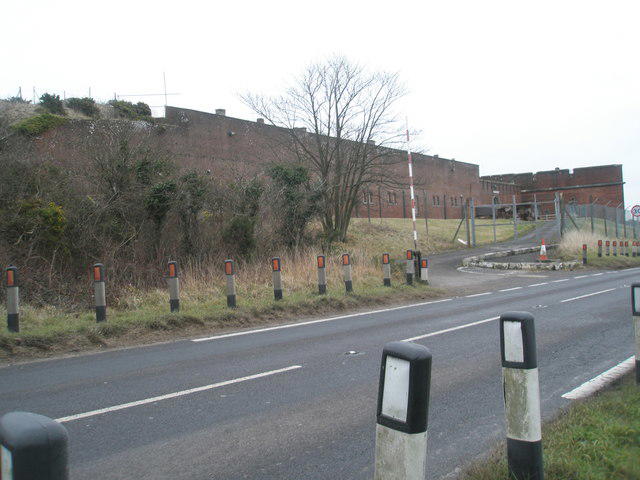 Photo could not load
SU6206 : Fort Southwick on a mild December morning
Basher Eyre
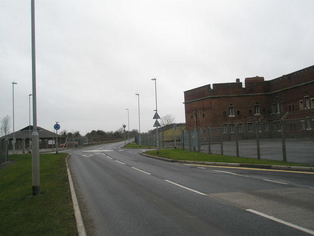 Photo could not load
SU6206 : Roundabout opposite Fort Southwick
Basher Eyre
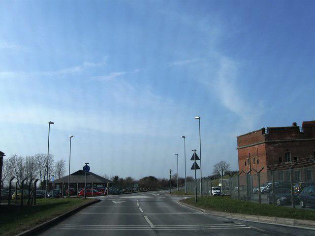 Photo could not load
SU6206 : Fort Southwick
Alex McGregor
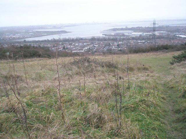 Photo could not load
SU6206 : Harbour view as seen from James Callaghan Drive, Portsdown Hill
Basher Eyre
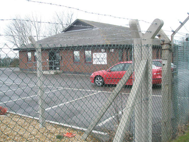 Photo could not load
SU6206 : Driving Test Centre on Portsdown Hill
Basher Eyre
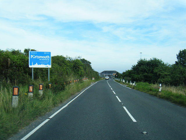
SU6206 : Portsdown Hill Road at Portsmouth City boundary
Colin Pyle
Hill facts and local notes
Classifications
Elevation
123m
402 ft
Prominence
0m
Coordinates
50.8582, -1.1114
SU626068
OS Map
196
Explorer: OL3 119
At the Summit
The summit features a prominent trig point and remains of Fort Southwick, a Victorian military fortification that adds a touch of historical interest to your hike.
Terrain & Geology
Ports Down is primarily composed of chalk, a soft limestone that erodes easily but forms stunning cliffs and landscapes. The area is also rich in fossils, making it a delight for geology enthusiasts.
Views & Scenery
From the summit, you can enjoy extensive views across the Solent to the Isle of Wight, plus sweeping vistas of Portsmouth and the South Downs.
History & Heritage
Name Origin
The name 'Ports Down' is derived from its historical role as a vantage point overlooking the port of Portsmouth.
Historical Significance
Fort Southwick played a crucial role in the defence of Portsmouth, particularly during the Victorian era. Its strategic location makes it historically significant.
Getting There & Facilities
Parking
There is a small parking area at Fort Southwick, accessible via Portsdown Hill Road. Be mindful of parking restrictions.
Public Transport
Accessible via local bus services to Fort Southwick; the nearest railway station is Portsmouth Harbour, followed by a short bus ride.
Nearby Facilities
Facilities are limited near the summit, but nearby Cosham offers various cafes, shops, and public toilets.
Safety Information
Known Hazards
- Occasional steep drops near the summit; stay on marked paths. Be mindful of weather changes as conditions can shift rapidly.
General Safety Tips
- Check weather conditions before setting out
- Carry appropriate clothing and equipment
- Let someone know your planned route
- Take a map, compass, and GPS device
- Carry emergency supplies: food, water, first aid kit, torch
Hills
Some common questions about the hills answered
Are there group walks up Ports Down (boundary) [Fort Southwick]?
Many walkers use Walkmates to join or organise walks with others. You can check for group walks around Ports Down (boundary) [Fort Southwick] through the maps
Are there other walkers around Ports Down (boundary) [Fort Southwick]?
Activity varies by location and time, but Walkmates lets you see whether others have shared walks or shown interest in this area. Find other people through the walking friends search walking friends for Ports Down (boundary) [Fort Southwick] search or of course create your own walk for Ports Down (boundary) [Fort Southwick]
Can I organise a walk to Ports Down (boundary) [Fort Southwick]?
Yes. If there aren’t any walks listed already, you can create a walk and make it available for others to join.
If you're signed up to Walkmates, you can create a walk to Ports Down (boundary) [Fort Southwick].
How do I find a walk up this hill?
There are often multiple ways to walk this hill, depending on experience and route preference. Walkmates helps you explore walks and routes that others have shared.
Can I suggest a new route up Ports Down (boundary) [Fort Southwick]?
Yes. You can suggest or create routes to share with others. Walkmates focuses on the social side of walking, so routes are used to help people organise walks and explore areas together, rather than as detailed navigation tools or route libraries.
Other uses really appreciate knowledgeable walkers sharing their routes. Share your favourite route to Ports Down (boundary) [Fort Southwick] here
The is an error or something incorrect about this hill. How do I let you know?
We always strive to keep the information on Walkmates as accurate as possible. If you find an error, please let us know through the contact form and we'll aim to correct it as quickly as possible
Community Discussion
Comments
Location
![Ports Down (boundary) [Fort Southwick] location map](https://cdn.walkmates.com/hill-maps/hill-sources/5531/50.85817_-1.11143.png)
Grid reference: SU626068
View on OpenStreetMapOpens a map in a new tab, centred on the hill.
Nearby Hills
Leith Hill
294m
Ditchling Beacon
248m
Glastonbury Tor
158m
Worcestershire Beacon
425m
Titterstone Clee Hill
533m
No comments yet. Be the first.